
Blog
Apricity unpacks what works in social impact and international development — from Monitoring, Evaluation and Learning (MEL) to data systems and evidence from the field. Written by practitioners with experience across NGOs, foundations, international organizations, and complex operating environments. Practical insights for funders, consultants, and the professionals working towards lasting change.
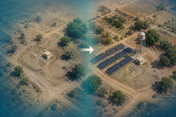
Satellite Imagery as Evidence: What It Can Verify— and How to Use It Well
Satellite imagery is one of the most practical tools for observing implementation in hard-to-access environments — but its value depends on how the evidence is framed and interpreted. This piece explores what it can reliably verify, where its limits lie, and what using it well actually requires.
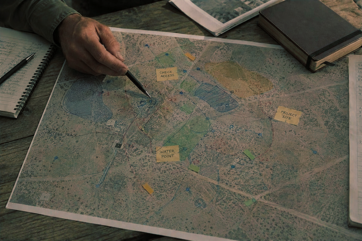
When Maps Become Evidence: Using Spatial Analysis to Strengthen Evaluation
Most evaluations include maps — but maps rarely do analytical work. This piece explores how spatial analysis can move from illustration to evidence, drawing on Apricity's evaluation work in Yemen to show what that looks like in practice.